32 HUGH CARGILL RD
Owner Information
HADLEY JUDITH TR
32 HUGH CARGILL RD
CONCORD, MA 01742


Property Details
32 HUGH CARGILL RD is classified as a Single Family Residential (Colonial).
The primary structure on this property was built in 1964. There are 5925ft2 of built area within this property. There is 2789ft2 of residential/living space within this property. This property is listed as having 11 rooms.
32 HUGH CARGILL RD is valued at 1172900. The land is valued at 437200 and the structures are valued at 701800. There is an additional valuation of 33900 on this property.
This property is in Zone AA. Confirm with local Zoning Board authorities to ensure there are no overlays or other easements on this property.
The most recent deed for 32 HUGH CARGILL RD is recorded at the local registrar in Book 18543, Page 0086. 32 HUGH CARGILL RD was last sold on 1987-09-15 for 0.
Assessment data from fiscal year 2022.
Flood Data
According to the FEMA National Flood Hazard Layer, this property does not appear to be in a flood zone. It may also be in an area not yet reviewed. Nonetheless, confirm this information prior to taking any action.
To view the flood hazards around this property, create a FEMA "Firmette" Map of the area around 32 HUGH CARGILL RD.
Broadband Internet Providers
| Provider | Type | Bandwidth (mbps) | |
|---|---|---|---|
| Viasat Inc | Satellite | 100 | 3 |
| Verizon New England Inc. | DSL | 15 | 1 |
| HughesNet | Satellite | 25 | 3 |
| GCI Communication Corp. | Satellite | 0 | 0 |
| T-Mobile | Fixed Wireless | 25 | 3 |
| Comcast | Cable | 1000 | 35 |
| Concord Light Broadband | Fiber | 300 | 300 |
| MCI | Copper Wire | 0 | 0 |
| VSAT Systems, LLC. | Satellite | 2 | 1 |
Broadband service provider data from December 2020.
Adjacent Properties
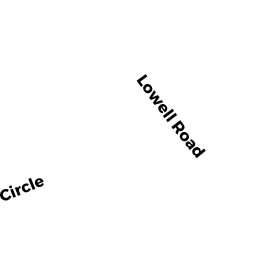
- 856 LOWELL RD
Single Family Residential owned by KESTER W CARL - 826 LOWELL RD
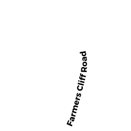
Accessory Land with Improvement owned by KESTER W CARL - 81 FARMERS CLIFF RD
Single Family Residential owned by STONE, WILLIAM - 101 FARMERS CLIFF RD
Single Family Residential owned by NOORDZIJ BOUKE N - 58 HUGH CARGILL RD
Multiple Houses on one parcel owned by JACOBS JOHN F TR